Cross Vermont Trail
Celebrating local trails and working to join them together - across Vermont!
The Cross Vermont Trail is a project to make a multi-use path the width of Vermont following the Winooski River and Wells River.
Imagine walking out your front door and within minutes stepping onto a system of paths leading through village centers, to schools, parks, wild areas and beyond - a network of local trails, inviting to all - interconnected. This is the dream of the Cross Vermont Trail.
You can help! The Cross Vermont Trail Association is a non-profit organization working to make this dream a reality. We are member based and volunteer driven. Everyone is welcome to join.
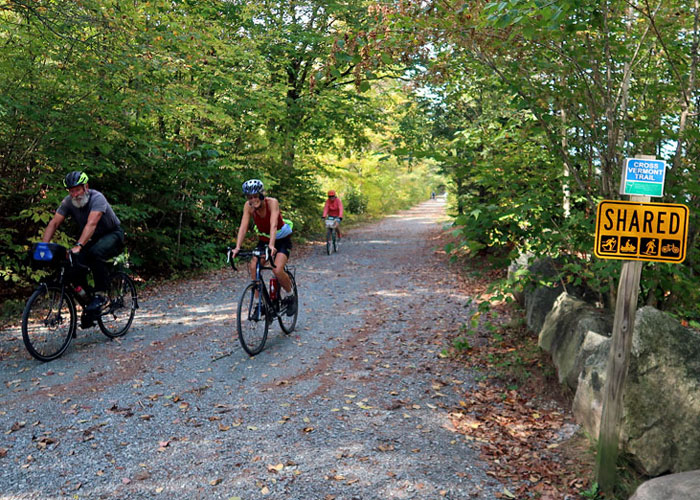
Cross Vermont Trail is a state wide biking and walking route that highlights local trails, and identifies the best roads that can be used to connect them together to make longer trips. Read our online guide and maps to plan your exploration!
Cross Vermont Trail is a project to build new trails with the long term goal of creating a complete off road route, joining together local trails into a state wide network. This is a true grass roots effort, you can help!
The Cross Vermont Trail is a cooperation of many landowners and local groups. We link efforts across boundaries, and are a responsible partner to care for trails where property owners are interested in allowing public use.
Through PayPal, with any major credit card.
CVTA is a small non profit charity - all contributions go to work on the trail!
Next up on the trail:
New Years Hike
- Date: Saturday January 3
- Time: 1 PM
- Meeting: Meet at the Plainfield Park and Ride trailhead, in Plainfield Village.
- Description: Greet the new year in the fresh air. Easy going hike or ski on the rail trail headed east from Plainfield Village. We'll admire the snow (and ice), listen for winter birds, and sip a little hot cocoa.
Our Annual Appeal
2025 accomplishments and plans for 2026.
The Cross Vermont Trail Association is celebrating a year of milestones achieved and new goals coming into reach.
Because of the contributions of many trail enthusiasts, we have made it through 2025 with great momentum even in the face of headwinds coming at us from the larger world.
2025 highlights:
- big step forward in the Winooski Bridge project and new trails linking with U-32 School
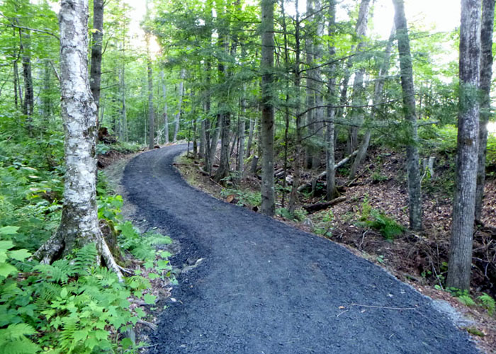
- total overhaul for the rail trail through Groton and Marshfield
- all new maps statewide, and many news signs especially from Montpelier to Wells River
Thank you for your past support of our work!
If you haven't donated recently, now is a great time to give as we prepare to build miles of new trail in 2026. Donate securely online. Or mail a check to: CVTA, PO BOX 116, Montpelier, VT 05601.
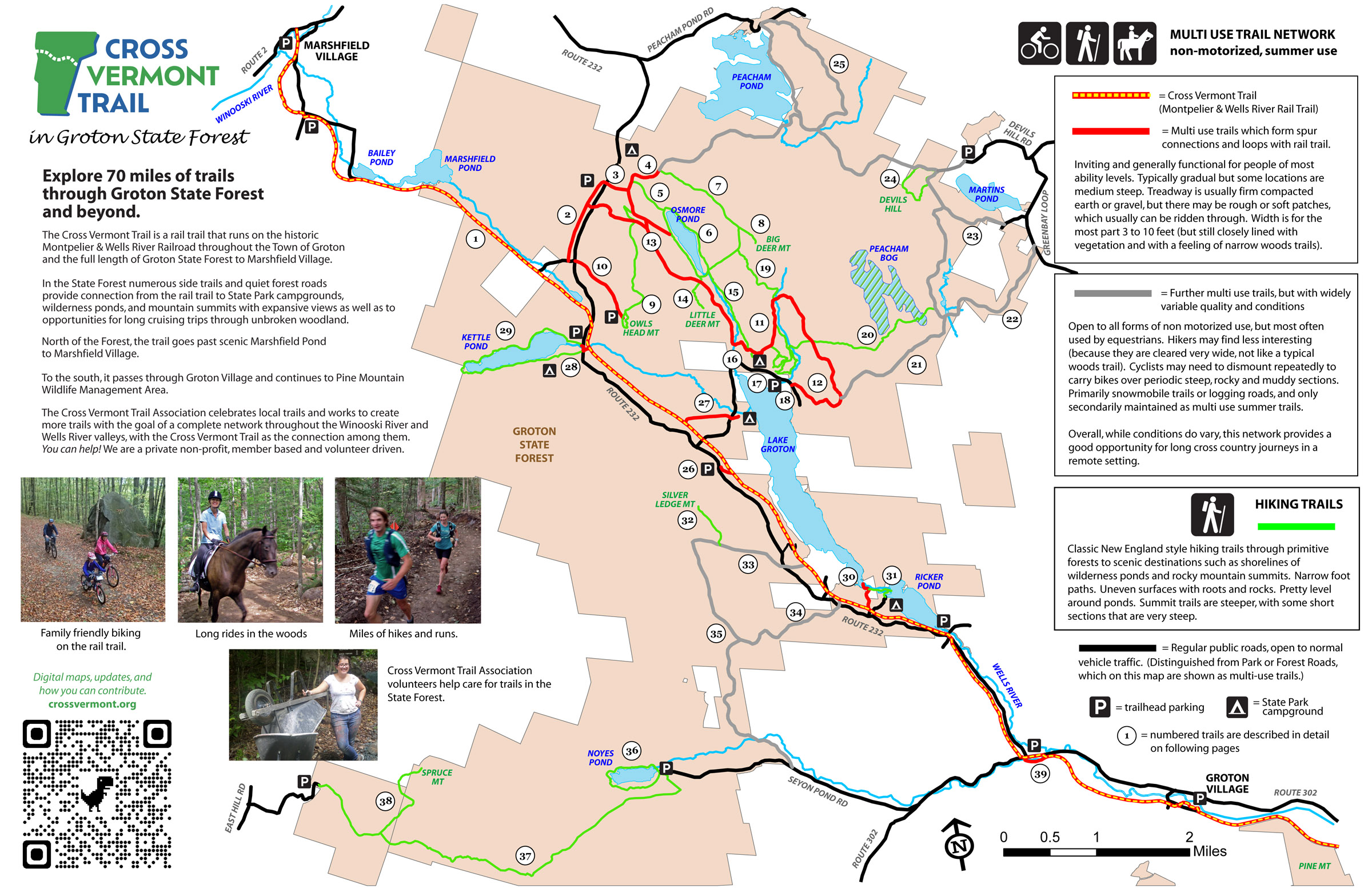
New Maps and Trail Guide for Groton.
We're excited to release a new map of the trails in Groton State Forest. Loops and spurs to campgrounds, ponds, rocky mountain summits and more in a network centered on the Cross Vermont Trail. And beyond! Connecting from the State Forest to the Villages of Groton and Marshfield.
Trail building moves forward!
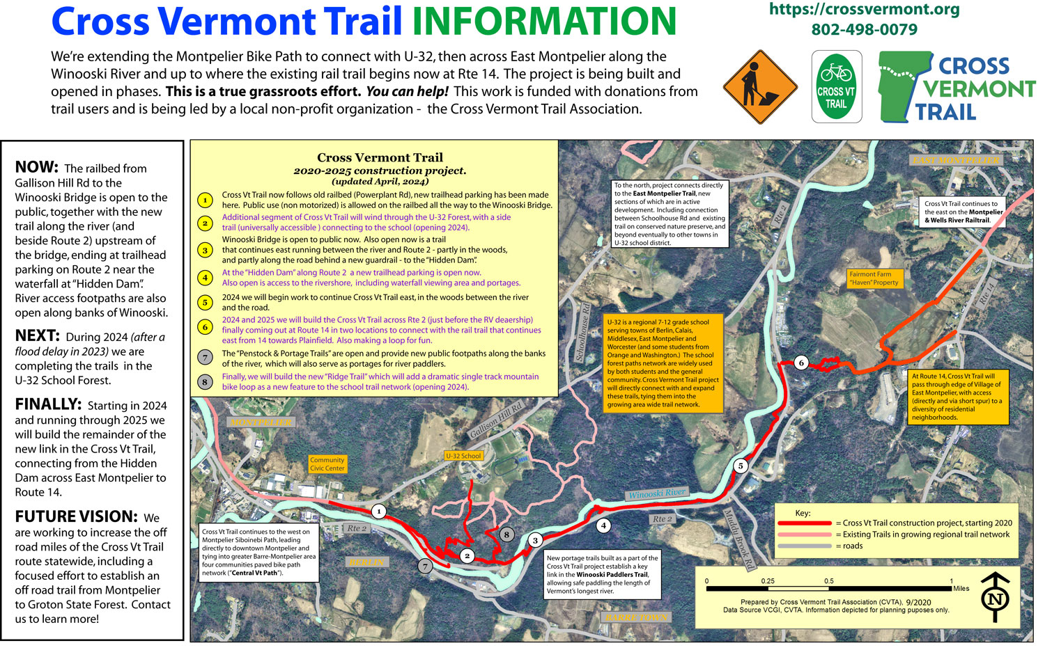
After installing the big new bridge in 2021, we are proceeding to build over 5 miles of new trail on either side of the bridge
Our vision is a complete connection from the Montpelier Bike Path up to U-32 and across East Montpelier to where the rail trail starts at Route 14.
The U-32 School Forest trails are complete and open as of Fall 2025 (after the flood delay of 2023 and then again in 2024, oof). These now link the school to the Cross Vermont Trail and trail network beyond.
In 2026 we will continue working upstream along the river, before finally cutting across country to the old railbed again and coming out at Route 14.
Check back here for udpates. New sections of trail will be opened as they are completed.
This is our "big project". Thank you to hundreds of local people who have donated and volunteered to help get this trail built. It's been a long haul, but we are in the home stretch. Contact us any time with questions or to learn how you can be involved!
CVTA Strategic Plan 2021 - 2025
Charting the way forward for the Cross Vermont Trail.
The Winooski Bridge is the start line, not the finish line. We are committed to thoughtfully persisting in the long term work needed to make real the vision of a trail across Vermont.
We will:
- increase off road trail mileage
- expand visibility of the work we do
- build capacity to be a resilient organization
- promote partnerships to strengthen regional trail networks and increase community vitality
Feature articles about Cross Vt Trail:
- Town of Groton refurbishes rail trail; Bridge Weekly
- VTDigger - connect Cross Vt Trail and Lamoille Valley Rail Trail.
- 7 Days, history and future of Cross Vt Trail
- Groton Gateway Project WCAX
- Long interview WCAX
- VTDigger - Bridge Install
- Montpelier Bridge Explains the Big Picture
- Dedication of the Montpelier Siboinebi Path; Times-Argus
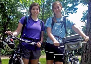
Shared stories
from trail journeys.
Read about the trips folks have made on the Cross Vermont Trail route. Just finished your own journey? Let us know what you saw!
